Join the 24-Hour Comic Marathon


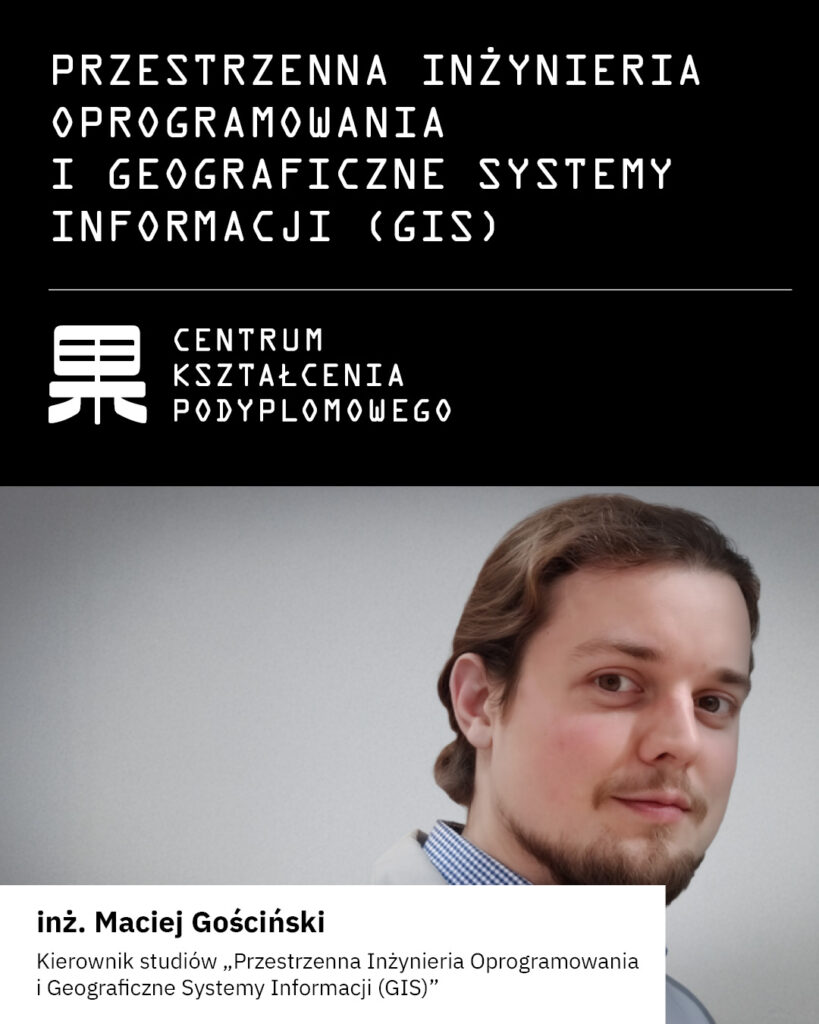
The Gdańsk Faculty of Computer Science at PJATK offers a postgraduate program in Spatial Programming Engineering and Geographic Information Systems (GIS)
Modern geospatial systems require not only the ability to analyze spatial data, but also programming skills and knowledge of artificial intelligence tools.
Therefore, Spatial Programming Engineering and Geographic Information Systems (GIS) are a response to market demand; as an interdisciplinary field, they combine the worlds of programming and artificial intelligence (AI) with the broad field of spatial data analysis.
Participants gain practical skills in spatial data analysis, map application development, geospatial service integration, and the use of AI to automate processes and support analysis.
The program addresses market needs related to digitization, geolocation, the development of smart spatial systems, and the rapidly growing field of geotourism.